Mother Nature can be a force to be reckoned with. Floods, wildfires, landslides – these natural disasters are becoming more frequent and intense, posing a severe threat to our land and property. Landowners face a real challenge: preparing for the unexpected and protecting their piece of earth.
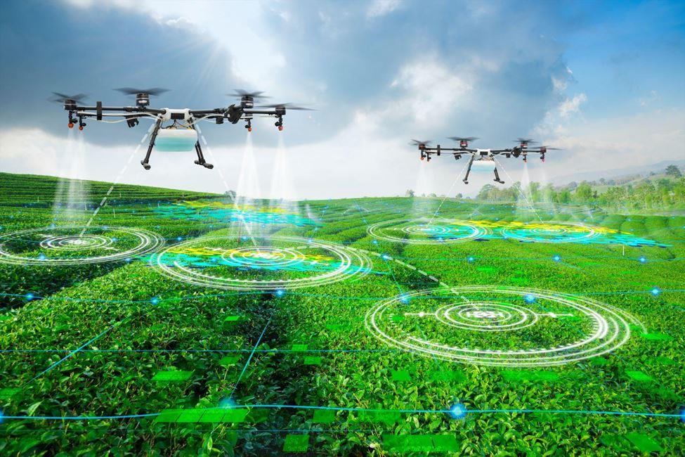
The good news is that we have a new weapon in our arsenal: drone technology. These handy unmanned aerial vehicles (UAVs) revolutionize disaster preparedness, response, and recovery.
Drone Power: Before the Storm Hits
Imagine seeing your entire property from above, spotting potential problems before they become disasters. That’s the magic of drones! Here’s how they can help you get ready:
● Mapping Your Land: Drones can take high-quality pictures of your property, creating detailed maps. Think of it as a bird’ s-eye view! These maps can help you identify areas at risk, like floodplains or parts of your land prone to erosion. Having this information beforehand allows you to take steps to protect those areas.Drones can also create a digital elevation model (DEM). This is basically a 3D map that shows the ups and downs of your land. Imagine a bumpy roller coaster ride—that’s kind of what a DEM looks like, but with elevation information! This can be super helpful for understanding how water might flow across your property during a flood so you can take steps to divert it or build barriers.
● Spotting Weak Spots: Critical infrastructure like levees, seawalls, and buildings are all vulnerable to damage during disasters. But climbing up and inspecting them yourself can be dangerous. Drones can take close-up pictures of these structures, helping you identify cracks, weaknesses, or anything that needs repair before a disaster strikes.
● Keeping an Eye on Your Plants: Your vegetation’s health can impact your risk of disasters. For example, dead trees and dry brush are more likely to catch fire, so keeping them healthy is essential. Drones can take pictures of your trees and other plants, helping you identify areas that might be a fire hazard or prone to landslides after heavy rain.
Drones in Action: When Disaster Strikes
The worst has happened – a natural disaster has hit your area. But even in the aftermath, drones can be incredibly valuable:
- Seeing the Damage: It can be hard to get a clear picture of the damage after a disaster. Roads might be blocked, and some areas might be too dangerous to enter on foot. Drones can quickly and safely fly over the affected area, taking pictures and videos showing the damage’s extent. This information is crucial for emergency responders to know where to focus their efforts.
● Finding People in Need: Imagine searching for survivors after a disaster. It can be a slow and challenging process on foot, especially in large or remote areas. Drones equipped with thermal imaging cameras can fly over the disaster zone, detecting body heat and helping locate people who might be trapped or injured.
● Delivering Help: Getting essential supplies like food, water, and medicine to people in remote areas affected by a disaster can be challenging. Drones offer a solution. Small, lightweight drones can carry these supplies directly to those who need them most, especially in areas where roads and bridges might be damaged.
Helping You Rebuild: The Power of Drones After the Storm
The disaster is over, but the work isn’t. Here’s how drones can help you get back on your feet:
● Tracking Recovery: Rebuilding after a disaster takes time. Drones can monitor the progress of repairs and reconstruction efforts. This allows you to see how things are going and make adjustments if needed.
● Proof for Insurance: Dealing with insurance companies after a disaster can be stressful. Drone-captured images can provide detailed documentation of the damage to your property, making the insurance claim process smoother and faster.
The Benefits of Taking Flight with Drones
So, why are drones such a game-changer in disaster management? Here are some key advantages:
● Safety First: Drones can gather data from dangerous or hard-to-reach areas, like collapsed buildings or flooded zones, keeping human crews safe.
● Time is of the Essence: Drones can collect data quickly and efficiently, which is crucial in the fast-paced environment of a disaster.
● Cost-Effective Choice: Drones are a much more affordable way to gather aerial data than traditional methods like manned helicopters.
● Sharp as a Tack: Drones capture high-resolution images and videos, allowing
For detailed analysis and informed decision-making during disaster response and recovery.
Things to Consider Before You Fly
Drones are a powerful tool, but using them responsibly is essential. Here are some things to keep in mind:
● Know the Rules: Every country and region has regulations regarding drone use. Before you fly your drone, check and follow the local laws to avoid problems.
● Respecting Privacy: Drones can take pictures and videos from above, so it’s essential to be mindful of privacy concerns. Don’t fly your drone over private property without permission.
● Weather Woes: Heavy rain, strong winds, and thunderstorms can all interfere with drone operation. Always check the weather forecast before flying your drone.
● Expertise Matters: While some drones are user-friendly, operating them safely and effectively requires training or experience. Consider hiring a licensed drone operator for complex tasks, especially during disasters.
Conclusion: A Brighter Future with Drone Technology
Natural disasters are a harsh reality, but drone technology offers a ray of hope. By providing valuable data before, during, and after disasters, drones empower landowners to protect their property, save lives, and rebuild their communities. As drone technology continues to evolve, its role in disaster management will become even more crucial. Organizations like CE Strategies are at the forefront of integrating drone technology into disaster management strategies, ensuring a safer and more resilient future.